How to prepare the input data?
Maps
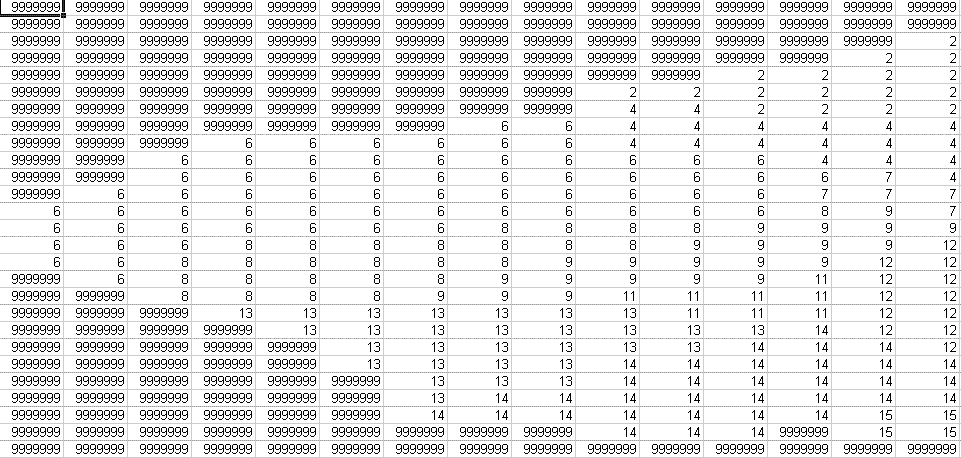
Map inputs are general raster/grid ASCII file without header, with missing
value represented as 9999999. You can provide such maps using most GIS
software (e.g. PCRaster or ArcView/Info). Note that you must remove the
headers if you use ArcView/Info. Save the maps using extension *.map.
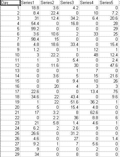
Historical rainfall time series
It is tab delimited text file, with the first line is assigned as header,
the first column as day sequence and the rest is assigned for historical
daily rainfalls. Save the file using extension *.tss.
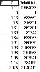
Elevational effect lookup table
It is tab delimited text file, with the first line is assigned as header,
the first column as elevation difference with the reference and the second
column is relative rainfall to the reference. Save the file using extension
*.lut.