| You are currently reading our legacy website. You can view our current projects here: |
LOCATING THE FRONTIERS OF DEFORESTATION
the Eastern Highlands of Madagascar; Change in Soil Quality in Relation
to Deforestation and Land Use Change.
In
view of the manifold benefits that are attributable to forests, their
progressive depletion must rank high in the global research and development
agenda. Here, we present a summary of findings related to deforestation
and soil degradation from the Kakamega Forest
in Kenya and the Eastern Rainforests of Madagascar.
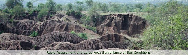
Basic data on land resources and soil quality
in particular are scarce in Madagascar, particularly when considering
the islands diverse landforms and soils, and the vast extent of
severe soil degradation. In addition, there are significant uncertainities
in current estimates of deforestation and land use change on the
island, mainly due to simplistic representations of deforestation
and ecological change and a general lack of quantitative, spatially-explicit
and statistically representative data on change in land cover and
-use. There are often subtle differences between land cover modifications
and conversions (deforestation) due to ecosystem resilience, inter-annual
variability and complex land-cover change trajectories making land
cover change estimates uncertain if for instance the spatial scale
of the imagery used does not match that of the processes studied
or an insufficient number of imagery is used (i.e. temporal scale
is inappropriate). Several studies have also been based on extrapolations
of earlier estimates without proper ground surveys, resulting in
propagation of errors from study to study. The majority of available
studies have attempted to assess change in natural forest cover,
but very few studies have been conducted to assess other and more
detailed types of land use change.
Back to top 
|